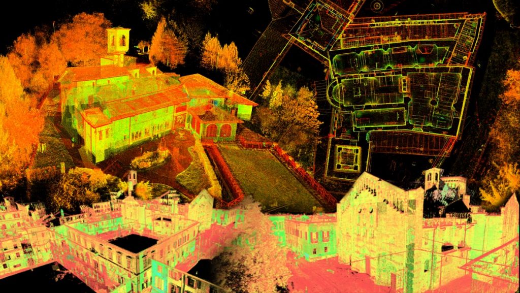
3D Databases creation and development
 Analysis and drawing of architectural space for the creation of planning and management tools require reliable databases for urban development planning and for the design of recovery interventions. Through survey systems using digital technology (Laser Scanner or SFM Structure from Motion) it is possible to create 3D databases and to develop interaction structures between models and databases for the management of network services.
- Necessity of a functional management system of dimensional and constructive characteristics in their aspects of metric and qualitative knowledge.
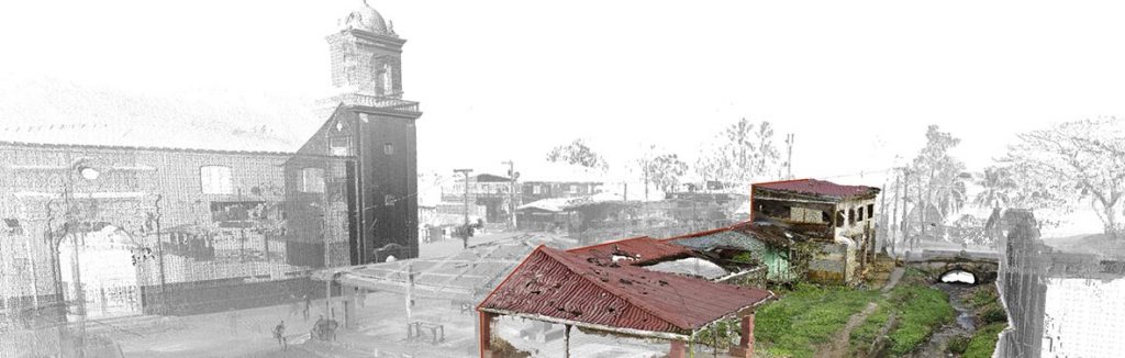
- Integrated survey techniques, Range Based and Image Based procedures, censuses.
- Survey campaigns for the collection of high metric reliability morphological data in the form of point clouds.
- SfM modeling to quickly obtain polygonal surfaces, more approximated but suitable for virtual morphological transposition for common digital display platforms.
- Photographic integration to assign to each point of 3D database the relative colorimetric data of the chromatic value of material.
- Control of reliability of metric data.
- Configuration for semantic reading of forms of built heritage and for its discretization and simplification.
Data collected from different survey phases are questionable, navigable, integrable, sectioned for 2D image exports, developing analysis paths according to integrated documentation protocols where morphological systems, construction and decorative details present multiple levels of detail, from large scale to building detail.